
Start a Dearborn Street Directory Search
A Dearborn street search works best as a chain of records. A Dearborn address points to a parcel, and a parcel provides the steady identifier needed when a road name is misspelled or an older record uses a different municipal label. The current owner field is useful, but it is a title clue, not a complete list of people at the address. Dearborn property records also distinguish a physical situs address from a mailing address. The first identifies the Dearborn property; the second is where the tax notice goes. They can be different places.
- Enter the exact address in Dearborn's BS&A property search, then save the parcel identifier, situs address, owner field, mailing field, legal description, sale information, and any exemption indicator displayed.
- Use the Wayne County map to compare the Dearborn parcel with the parcels on either side. Match the map boundary and verified Dearborn address to the parcel identifier before relying on a street label.
- Run the Dearborn address or parcel through the Wayne Treasurer listing when a street-wide pass is needed. Its address search can broaden beyond one number.
- For recorded Dearborn ownership, follow the parcel or legal description into the Wayne County Register of Deeds index. The current purchase deed names the buyer as grantee and the seller as grantor.
- For earlier household clues, check the street sections of Polk and Bresser directories at the library or museum archive. Those volumes are snapshots, not continuous proof of occupancy.
Keep a short record of the source and date for each result. A parcel number and legal description usually remain more reliable than a postal-style address when the street search reaches a shared drive, condominium, irregular lot, or old subdivision label.
Dearborn Street Searches in BS&A
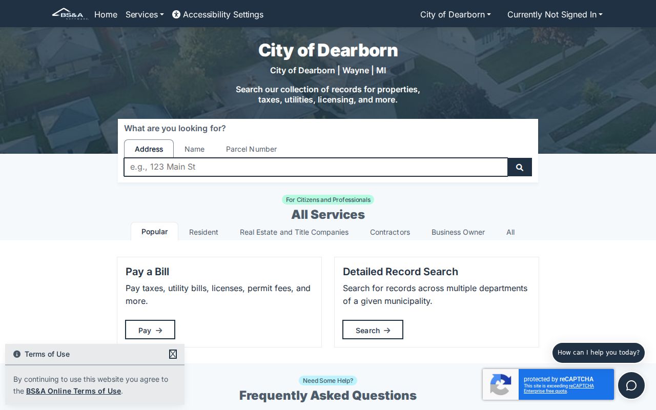
Dearborn's BS&A municipality portal advertises Address, Name, and Parcel Number searches, plus assessing, property-sale, building-department, business-licensing, and detailed-record modules. Start by a Dearborn address when the block is known. Use a Dearborn parcel number when several streets share a name or when an address has changed. The city links the portal from its Dearborn Assessing page, where Dearborn record cards can also be viewed during business hours and document or property-inspection requests can be made by email or phone.
| Search field or mode | Type | Required | Dearborn use |
|---|---|---|---|
| Address | Global search text | No | Find a Dearborn property from the known street number and name. |
| Name | Global search text | No | Find Dearborn parcels connected to an owner or name entry. |
| Parcel Number | Global search text | No | Use the Dearborn tax or parcel identifier to resolve address ambiguity. |
| Detailed Record Search | Module or tab | No | Dearborn application-specific fields were not available in the inspected public text. |
| Property Sale Search | Module | No | Searches the Dearborn property-sales dataset; exact public filters were not confirmed. |
| Building Department Record Search | Module | No | May lead to Dearborn permit records; exact search fields and historical range need live verification. |
The county's Treasurer Property Tax Listing is a useful second route. In address mode it requires a street name of at least three letters, accepts an optional street number, and lets a searcher omit the suffix for a wider match. Select Dearborn in the municipality list to avoid joining similarly named streets from nearby cities. Its results concern delinquent property and tax status, so they are not a household roster.
The captured BS&A screen at the official Dearborn property portal shows the public entry point for the address, name, and parcel routes.
Use the search result as a record locator, then confirm any important fact against the City of Dearborn assessor record card or the proper county custodian.
Map a Dearborn Street by Parcel
Wayne County Maps and Data describes interactive mapping with zoom, pan, feature selection, and analysis. Its Parcel Viewer service publishes Dearborn parcel and address data with roads, ownership, verified 911 addresses, and map context. Start at the Dearborn address, select the polygon, and copy the parcel or tax identifier before checking the adjoining Dearborn lots. The public research did not confirm every live control name or layer order, so do not assume a particular buffer or measurement setting is always available.
A mapped Dearborn owner field should be tested against the assessor record and, when title matters, the deed index. One Dearborn parcel can hold more than one legal interest or building type. The shape on the map also helps explain why two addresses may share a drive or why a legal lot does not follow the apparent street frontage.
The Wayne County Maps and Data page provides the public entry point for the Dearborn Parcel Viewer capture.
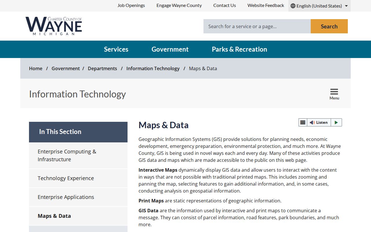
The Dearborn GIS image supports a parcel-first street review, followed by assessor and deed checks for each selected parcel.
- Parcel
- A defined piece of land in the tax and mapping system, usually identified by a parcel or tax number.
- Situs address
- The physical location of the property used by the assessor, GIS, and permit systems. It is different from the owner's correspondence address.
- Plat
- A recorded map that lays out a subdivision's lots, blocks, easements, and roads.
- Criss-cross directory
- A reverse directory arranged by street and number, useful for locating historical entries by address rather than surname.
Note: The parcel boundary and legal description are stronger checks than a street label when comparing older Dearborn records.
Dearborn Street Records by Address
Different custodians keep different slices of a Dearborn address. The table separates what each record can show from what it cannot establish. Use the parcel identifier to connect assessment, tax, map, permit, and deed material. Use a historical street section only after normalizing the city label and address. A result that names a recorded owner still does not prove every person currently present at the property.
| Address-keyed record | Custodian | What it can show | Access route |
|---|---|---|---|
| Assessment and property card | Dearborn Assessing / BS&A | Dearborn owner, situs, mailing address, parcel, value, legal description, sales, and exemption indicators when displayed | Public portal; record-card counter, email, or phone request |
| Parcel map | Wayne County GIS | Dearborn parcel polygon, verified address, parcel identifier, roads, ownership, and layer context | Public interactive map and service directory |
| Recorded land index | Wayne County Register of Deeds | Dearborn grantor, grantee, instrument, legal description, liber/page, recording date, and images with paid access | Free name listing; paid session; office or mail for older work |
| Tax listing | Wayne County Treasurer | Dearborn address, parcel identifier, municipality, delinquent year, and payment status | Free address or parcel search |
| Permits and inspections | Dearborn departments / BS&A | Dearborn work type, address, and potentially applicant, contractor, owner, inspection, or status fields | Current module, city contact, or focused FOIA request |
| Street directories | Library and Dearborn Historical Museum | Historical Dearborn street entries, heads of household, phones, occupation, and printed ownership or occupancy notation | Physical collections and archive appointment routes |
For a Dearborn document that is not available online, the access route matters. Wayne County says records physically date from 1703. Its search-and-copy guidance describes online search and printing from January 1, 1960, while another county page emphasizes documents recorded after 1986. Treat 1960 as historical web guidance, not a promise that each image will appear. Pre-1960 Dearborn research goes to the Register of Deeds office or a search-by-mail request.
Trace Dearborn Street Ownership
The Wayne County Register of Deeds search is the recorded-title step for a Dearborn parcel. A free public search is limited to grantor or grantee name listings. An on-demand paid account expands the search to a Dearborn address, legal description, parcel or tax identifier, and liber or page, with document viewing and printing. The county also offers a counter search and a mail search, which are important alternatives when an older Dearborn instrument or certified copy is needed.
Begin with the current Dearborn owner from the assessor record. Search that party as grantee to find the purchase instrument. Read the legal description, recording date, document number, and liber or page, then search the seller as grantee to locate the earlier acquisition. At each pass, compare the Dearborn lot, block, subdivision, parcel identifier, or other legal wording. A deed establishes the recorded transaction and parties. It does not establish an entire household at the address.
Wayne County land-record materials describe more than 50 million images and abstracts, alongside records that physically reach back to 1703. That scale makes the Dearborn identifier trail important. A bare street-name match is too weak for a reliable Dearborn street directory result.
The current Wayne deed-search landing page provides the county route to its land-record tools.
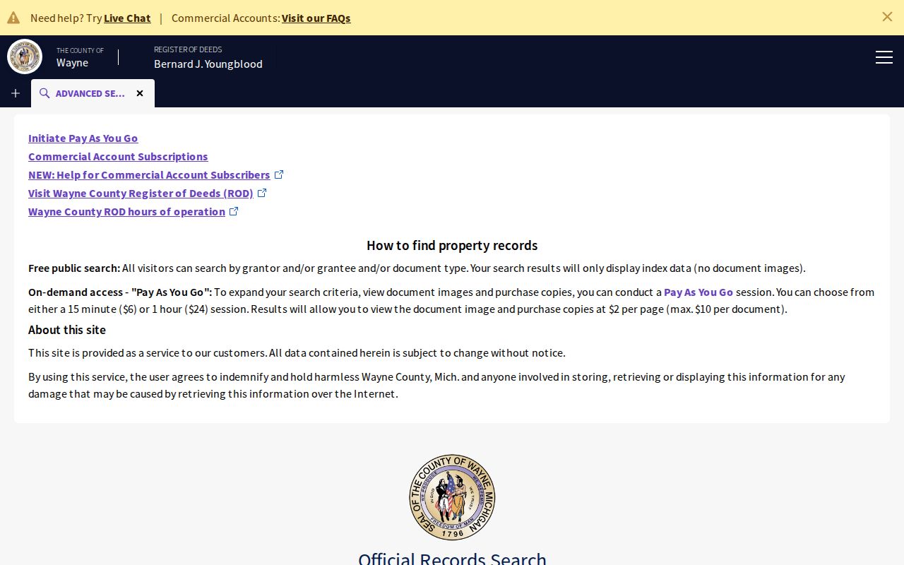
When the index result does not answer the question, use the Register of Deeds office or mail option rather than treating an online gap as a missing ownership history.
Fordson Names on Dearborn Streets
Older Dearborn street work needs a place-name check. Springwells became Fordson in 1925, and Dearborn and Fordson consolidated on January 15, 1929. A present-day Dearborn location can therefore be entered as Fordson, Springwells, Dearborn village, Dearborn Township, or Wayne County in an older Dearborn directory, deed, map, or newspaper. Tireman also follows the old Springwells Township north border in eastern Dearborn, a useful reminder that modern Dearborn municipal geography is not the only filing system behind a street entry.
Use the Dearborn legal description and plat as the bridge when the street name or city label does not match. The Dearborn museum reports Polk directories for 1926 through 2001, while listed holdings include a 1926-27 Dearborn street guide, Polk Fordson 1928, and a 1928-29 Dearborn directory. Those volumes show the Dearborn label change inside the address record sequence.
Search Dearborn Streets in Tax Records
The Wayne Treasurer listing provides a useful Dearborn street pass when the aim is to compare known parcels on one road. In address mode, enter the first three or more letters of the Dearborn street name. A street number is optional, so a blank number or leading digits can broaden the result. The municipality field should be set to Dearborn when the same street name may also occur in a neighboring community. Parcel mode requires the complete identifier, and non-Detroit identifiers use a different format from Detroit entries.
Results can show the Dearborn property address, parcel identifier, municipality, delinquency, tax year, and payment status. The listing is a tax and delinquency tool, not a complete title or household record. County guidance also connects foreclosure judgments to the Register of Deeds. Check an unexpected Dearborn transfer or recorded foreclosure document through the deed index, where legal descriptions and recorded parties provide the stronger ownership trail.
Dearborn Street Entries in Print
Printed directories give a dated view of a Dearborn address after the current parcel work is complete. Polk street sections can supply household, occupation, and business information where the volume printed it. Bresser entries tend to be more compact, with a head of household, phone, first-listed year, relocation notation, and printed ownership or occupancy notation. Search the Dearborn street name, its old variant, and nearby numbers because a volume can use a Fordson or Springwells label rather than modern Dearborn.
The Dearborn Library catalog identifies city-directory holdings, while the Dearborn Historical Museum archive offers appointment research. The museum reports basic research may be free, with advanced research and copies or scans charged separately. These are access channels for historical street evidence, not a substitute for a current property record.
Dearborn Street Voter and Permit Leads
Michigan's Qualified Voter File is public subject to statutory limits, but the individual Michigan Voter Information Center is designed for a voter's own registration status. It does not advertise an arbitrary all-voters-on-a-street search. A QVF request can select a jurisdiction, ward, precinct, or other listed geography, not a street as a standalone request. Public fields and delivery rules remain subject to MCL 168.509gg, including withholding of full birth-date details, identification numbers, phone, email, signatures, and protected addresses.
Permits provide a separate address trail. Dearborn identifies building, mechanical, electrical, plumbing, demolition, renovation, and new-construction activity in its current workflows. A record may help date a change at a property, but the public fields and historical range for the specific BS&A module were not confirmed in the research. For a public city record that is not in the portal, a focused written request to Dearborn FOIA should identify the parcel, address, date range, and record type. Michigan FOIA allows a written response period of five business days with one possible ten-business-day extension under state law.
Historical street entries are available through physical directory collections, not a universal online roster. The Dearborn Library city-directory catalog and the Dearborn Historical Museum archive are the practical alternatives when a dated address needs a printed source.
Limits of a Dearborn Street Directory
Address records need careful wording. An owner can receive tax mail at another address, and a trust, corporation, or representative can appear in that field. People other than the recorded owner may not be indexed through property records. DMV personal addresses are protected, utility customer lists are not a public household directory, and a court result is not proof of a current location. Directory gaps mean only that a person or address was not listed in that particular volume.
Michigan's Address Confidentiality Program protects an eligible participant's real address through a designated substitute address and protected voter-registration handling. The Michigan Attorney General's ACP information explains the program and its access protections. Do not attempt to infer or expose a protected Dearborn address from parcel, map, voter, or mailing information.
Lawful use. Dearborn address records are for personal, lawful research and civic understanding. Do not use them to repeatedly contact, follow, intimidate, or harass another person; Michigan law treats stalking and related conduct seriously.