
Start With Dearborn Neighbors by Block
A Dearborn block lookup begins with a physical Dearborn address and then separates parcel facts from personal assumptions. The Dearborn map identifies touching parcels and verified addresses. The Dearborn assessment record can identify a recorded owner, a situs address, a mailing address, and property details when displayed. The Dearborn tax listing adds a municipality check and delinquent-property context. Dearborn deeds explain recorded transactions. Voter records, historical directories, and association contacts each have tighter legal or practical limits.
| Source | What it shows about a block | Access |
|---|---|---|
| Wayne County Parcel Viewer | Dearborn parcel polygons, adjoining parcels, verified 911 addresses, roads, ownership, and map context | Public map and service directory |
| Dearborn BS&A | Current Dearborn parcel owner, situs and mailing distinction, values, sale, and permit modules when displayed | Public web search; exact result fields need live inspection |
| Wayne Treasurer listing | Dearborn address or parcel matches, municipality, delinquent years, and payment status | Free street or parcel search; not a household roster |
| Wayne Register of Deeds | Recorded Dearborn owners, instruments, plats, easements, and legal descriptions for a parcel | Free name listing; paid property search; office or mail for older work |
| Michigan QVF | Dearborn registered-voter fields for a lawful requested geography, with statutory redactions | Individual MVIC lookup or MDOS QVF request |
| Polk and Bresser directories | Historical Dearborn street entries, heads of household, phones, and printed occupancy notation | Library and museum collections; years are not continuous |
| City association map and DFNA | Dearborn association boundary, meeting, and contact layer | City listing and map; no universal member directory |
Dearborn owners and occupants are not interchangeable. A Dearborn tax mailing address may belong to a trust, business, or representative. A person living near a Dearborn parcel might have no public record in these sources. That is why Dearborn neighbors should be described as source-qualified parcel or community information, not as a complete private roster.
Map Dearborn Neighbors in Wayne GIS
Wayne County Maps and Data provides the public route to the Dearborn Parcel Viewer. County descriptions identify zoom, pan, feature selection, and analysis, while the parcel service publishes Dearborn address and parcel data through map and feature services. Begin at the Dearborn street address, select the Dearborn parcel polygon, and preserve the displayed parcel or tax identifier. Then select the Dearborn polygons that touch it. This makes the Dearborn block edge visible before records from other systems are compared.
- Find or navigate to the target Dearborn address and select its parcel polygon.
- Copy the verified Dearborn address and parcel or tax identifier from the map information.
- Select each touching Dearborn parcel and make a separate note for every parcel identifier, rather than relying on a single street number.
- Compare the Dearborn identifiers with BS&A and the Register of Deeds. Use the legal description or plat to resolve shared drives, irregular boundaries, or a lot that has more than one legal interest.
- Use the municipality setting in the Treasurer search to keep nearby Dearborn Heights, Detroit, Melvindale, or Taylor results out of the same street pass.
The research did not confirm a fixed live buffer radius, measure control, or layer-toggle order. A selected-Dearborn-parcel method is therefore more reliable than promising a particular map feature. For an entire named Dearborn road and its broader record chain, the Dearborn street directory follows a street-by-street route.
The county's Maps and Data page is the source for the Parcel Viewer entry point shown here.
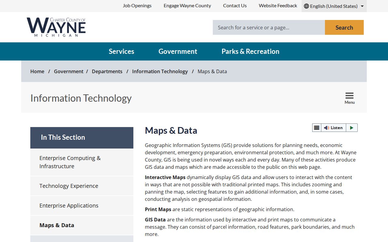
The image supports using the county map as a parcel locator, after which the assessor and deed records provide the documentary checks.
Compare Dearborn Parcels and Owners
Use the Dearborn parcel number to make the second pass. Dearborn's BS&A portal advertises Address, Name, and Parcel Number searching. A Dearborn property record may include an owner, situs address, mailing address, legal description, land or building characteristics, assessed and taxable values, sale information, and exemption indicators. The research did not open a live Dearborn card, so treat those fields as possible Dearborn record content, not a promise that each will appear in every result.
Situs is the physical Dearborn property location. A Dearborn mailing address is the destination for tax notices or owner correspondence. A matching principal-residence exemption can be evidence of a claimed owner occupancy, but it is not proof that every person at the address is identified. The safest Dearborn record statement is that a named party is the recorded owner or mailing contact where the custodian displays that field.
The Wayne County ParcelViewer service directory provides the technical route behind the map. It is useful for checking the parcel and address services behind a selected location.
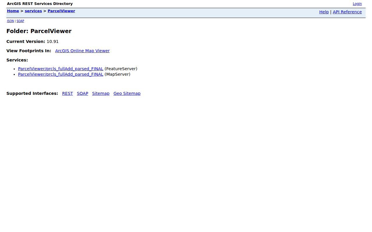
After the neighboring Dearborn parcel identifiers are stable, compare each one separately. A map label is not a substitute for a current Dearborn assessor card or a recorded instrument.
Dearborn Neighbor Voter Record Limits
Michigan's Qualified Voter File is public subject to specific withholding rules, but the Michigan Voter Information Center is an individual Dearborn status lookup, not an advertised arbitrary street roster. The full QVF request form offers geography choices such as state, county, jurisdiction, district, ward, and precinct. It does not list a Dearborn street as a standalone selection. A lawful Dearborn request may therefore help with precinct or block context, but it will not necessarily identify every nearby person.
Public QVF material can include name, residence address, mailing address if available, year of birth, registration date, status, voter identifier, and requested history. It does not provide ballot choices. Month and day of birth, driver-license or state-identification number, phone, email, signature, last four Social Security digits, and protected Dearborn addresses are withheld under MCL 168.509gg. An active, inactive, challenged, or verify status is not proof that someone lived at a given Dearborn address on a particular date.
Use the Dearborn City Clerk for local registration and election administration questions. A request for Dearborn public material should stay narrow and lawful, with attention to the field restrictions and the proper geography.
Find a Dearborn Neighborhood Association
The City of Dearborn neighborhood association listing and its map show registered or active Dearborn association boundaries with contact or meeting information. That Dearborn layer can direct a block question to a civic contact. It does not make a Dearborn association a government district, and it does not establish that a named person belongs to an association or lives on the block. When a private roster is not public, ask the organization to forward a message instead of requesting member information.
City-listed association contacts
Concerned Residents for South Dearborn, Country Club Estates, Dearborn Hills Civic, Ford Homes Historic District, and Golfview Oaks appear in the Dearborn city association layer. Check the Dearborn city listing for the current boundary, contact, and meeting details.
More Dearborn civic areas
Morley Area Residents, River Bend, Snow Woods, Southwestern Outer Drive/SODA, Springwells Park, and West Lane are also named by the Dearborn city. The Dearborn association map is the proper contact route for a particular block.
DFNA community layer
The Dearborn Federation of Neighborhood Associations is a volunteer umbrella. The city lists its meeting on the third Wednesday of each month except July and August at 7 p.m. in the Dearborn Administrative Center.
The captured city association page shows the public association resource used for boundaries, meeting information, and contact routes.
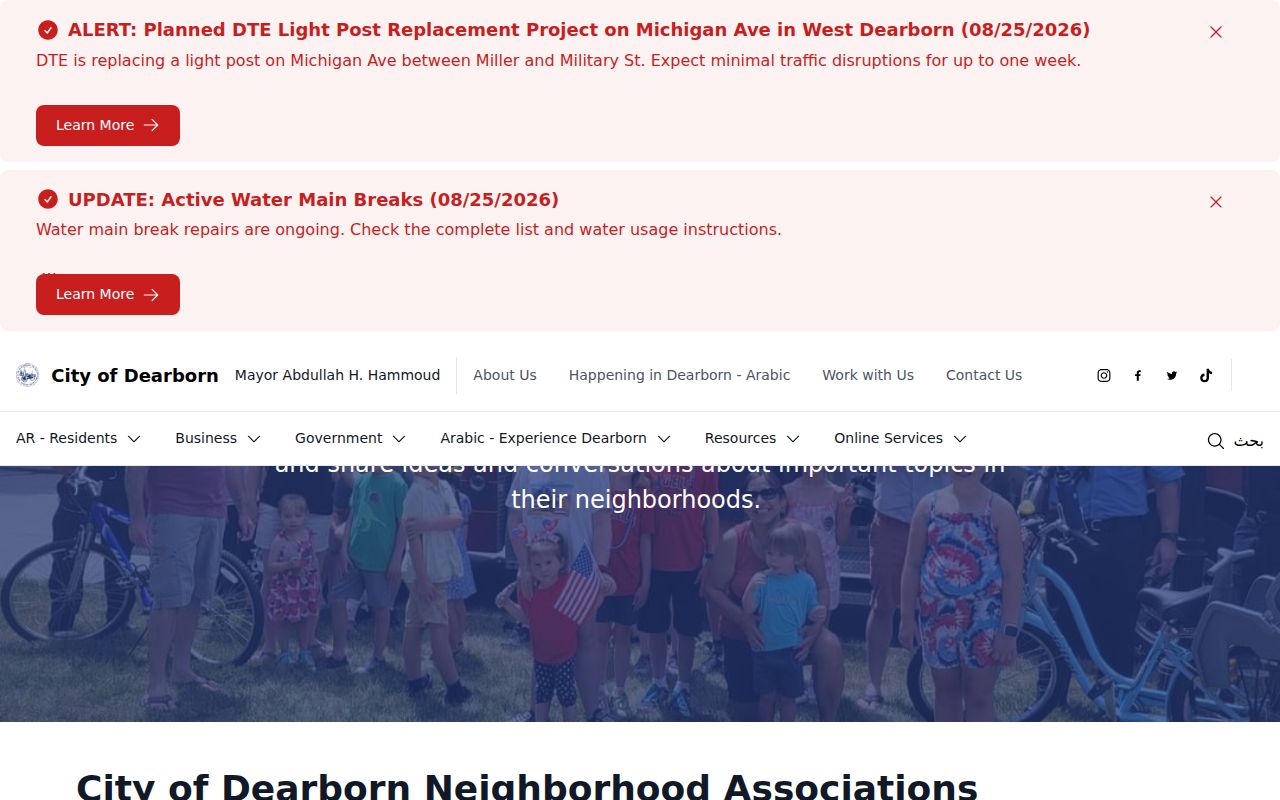
Association information adds a community-contact layer to a block search; it does not replace parcel records or create a public list of members.
Fordson Labels on Older Dearborn Blocks
A historical block can appear under more than one municipal name. Springwells became Fordson in 1925, and Dearborn and Fordson consolidated on January 15, 1929. Search Fordson, Springwells, Dearborn village, Dearborn Township, and Wayne County labels when an older directory or map does not fit a current address. Legal descriptions and plats are the bridge when the street label changes or a city boundary looks different on an older map.
For historical neighbors, stabilize the modern parcel set first. Then inspect Polk street sections and Bresser reverse or criss-cross entries for the available years. The museum reports Polk directories from 1926 to 2001, and listed collections include scattered Polk years from 1932 through 1994 and Bresser years from 1953 through 2008. A negative entry means only that the address was not listed in that particular volume.
Note: Older Fordson and Springwells labels are search keys, not evidence that the property lies outside modern Dearborn.
Trace a Dearborn Block Through Records
The immediate-block process is a short, repeatable chain: address to selected parcel polygon, parcel identifier to BS&A, owner or legal description to the deed index, then adjacent-parcel comparison. The Wayne County Register of Deeds is the title source in that chain. Its free public search is name-only. A paid on-demand account expands property, address, legal-description, parcel, and image searching; office and mail channels remain available for older work or certified copies.
For each parcel, search the present owner as grantee to find the purchase instrument. Read the seller as grantor, recording date, legal description, document number, and liber or page. Then search the seller as grantee when an earlier acquisition is needed. Match the legal description and parcel identifier at every step. This can show a recorded transfer, plat, easement, or subdivision change. It cannot prove who was physically present on a selected day.
Dearborn permits can add another date layer. Building, mechanical, electrical, plumbing, demolition, renovation, and new-construction records may supply address-based activity, with public fields dependent on the available module. For a releasable city record that is not online, a focused written request through Dearborn FOIA should state the address, parcel, date range, and exact record sought. State law permits search, review, separation, copying, and mailing fees where applicable.
Compare Dearborn Neighbor Record Sources
Official sources and commercial neighbor tools answer different questions. The official record points to its custodian and usually states the type of field, access channel, or limitation. Commercial tools often combine public-record fragments, purchased marketing data, and older address associations. A result in either category can be stale or merge people with the same name, so an important fact needs confirmation from the government or organization that holds the underlying record.
| Category | Strength | Limit to remember |
|---|---|---|
| Official parcel, deed, tax, and voter sources | Clear custodian, record type, and access rules; parcel and legal-description cross-checks are available | Each record has a narrow purpose and may omit people, images, or protected fields |
| Commercial neighbor-lookup tools | May place older address associations and public fragments in one interface | Can be stale, combine same-name people, obscure source dates, or include data not suitable as proof |
| Association and community contacts | Can route a message or meeting question to the appropriate civic group | They are contact layers, not verified member or household directories |
When records disagree, preserve the discrepancy instead of forcing a match. The parcel's legal description, the custodian's current record, and a dated source offer a stronger basis for a careful block note.
Privacy Boundaries for Dearborn Neighbors
Parcel ownership is not a complete picture of a block. Other household members may not appear in property, voter, or historical directory records. A mailing address can belong to a trust, business, or representative. Michigan DMV personal address data is protected, utility customers are not a public household directory, and court or vital material can be restricted or sealed. A source-qualified parcel description is the appropriate result when the record does not establish more.
Michigan's Address Confidentiality Program provides eligible people at risk of harm with a designated substitute address, mail forwarding, corrected identification, and protected voter-registration handling. The Michigan Attorney General's ACP resource describes the program. Protected addresses must not be inferred from parcel, map, voting, or mailing information.
Lawful use. Dearborn neighbor records are for personal, lawful research and civic awareness. Do not use them to repeatedly contact, follow, intimidate, expose, or harass any person.